The Hidden Legacy of Abandoned Wells
AI and Historical Maps are proving to be a game-changer in identifying and addressing the environmental hazards posed by undocumented orphaned wells (UOWs). The United States is grappling with the environmental consequences of its long history of oil and gas extraction, particularly in the form of undocumented orphaned wells (UOWs). These abandoned wells, many of which have been left without a responsible operator or official documentation, pose significant threats to both the environment and public health. From methane emissions that accelerate climate change to the contamination of water supplies with toxic substances, the dangers are clear. Yet, pinpointing the locations of these hidden relics, estimated to number between 310,000 and 800,000, has long been a daunting challenge.
Combining AI and Historical Maps to Find UOWs
Recent advancements in artificial intelligence (AI) have provided a promising solution to the problem of locating orphaned wells. In a groundbreaking project, researchers have turned to historical maps, some dating back as far as 1884, to help identify the sites of former oil and gas operations. These topographic maps, digitized by the U.S. Geological Survey (USGS), offer valuable insights into early drilling activities. The challenge, however, is sorting through vast archives of these old maps.
Fabio Ciulla, a postdoctoral fellow at the Lawrence Berkeley National Laboratory, has been instrumental in leveraging AI to analyze these maps. By using a U-Net convolutional neural network, an AI algorithm designed to recognize oil well symbols, researchers can now identify potential UOW locations with remarkable accuracy. The system was trained on manually labeled maps and applied to regions with significant oil production histories, such as Kern and Los Angeles counties in California, and Osage and Oklahoma counties in Oklahoma. In these areas, the AI identified over 1,300 potential orphaned wells.
Verifying AI Findings and Expanding Detection Efforts
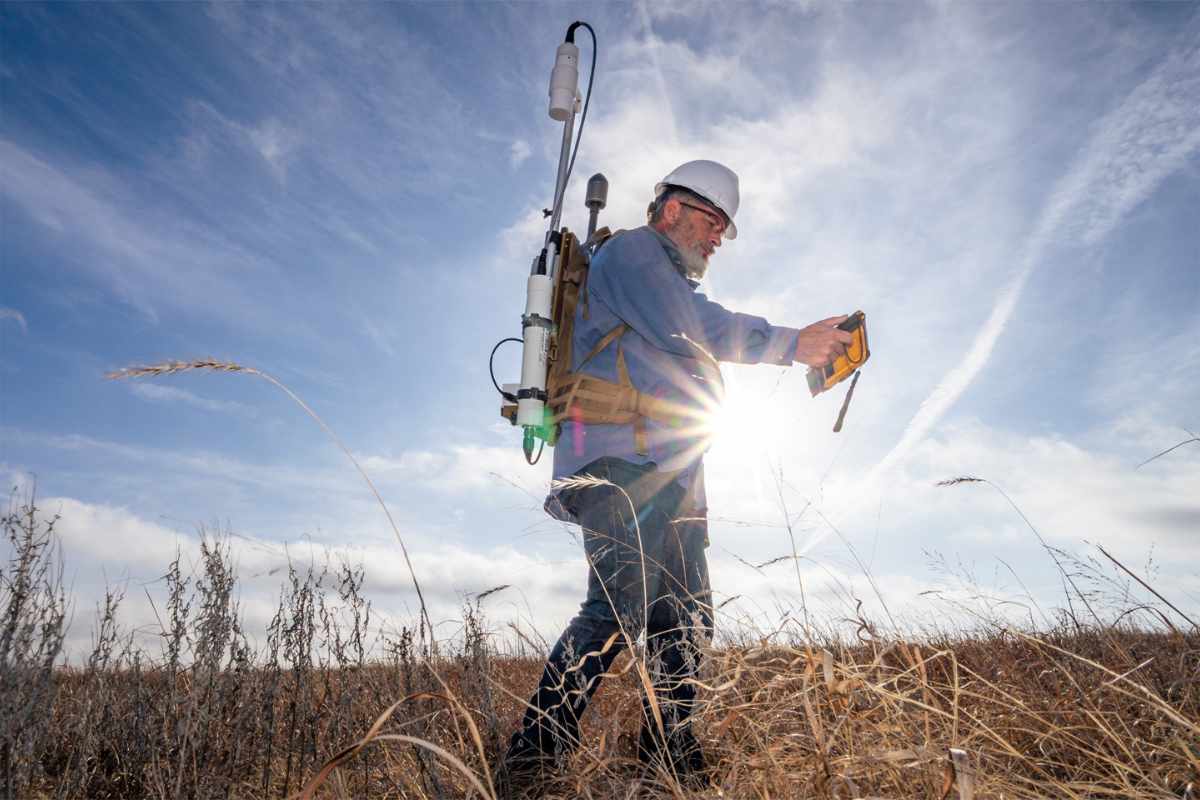
While AI has proven effective in identifying potential well sites, verification remains a critical step. Researchers use satellite images and historical aerial photos to search for visual signs of abandoned wells, such as pump jacks or storage tanks. In cases where surface evidence is lacking, magnetometers are deployed to detect buried metal well casings. The accuracy of the AI is impressive, with wells being located within an average of 10 meters of their predicted positions.
AI and Historical Maps represent a significant leap over traditional approaches, such as manual record searches or on-the-ground surveys, which are often slow and geographically limited. However, the project doesn’t stop at map analysis. As part of the Consortium Advancing Technology for Assessment of Lost Oil & Gas Wells (CATALOG), the effort includes a range of advanced tools, such as drones equipped with methane sensors and magnetometers, to detect leaks and locate buried wells. Additionally, researchers are working on cost-effective solutions to monitor methane emissions, an essential step in mitigating the environmental impact of orphaned wells.
The CATALOG initiative is also tapping into citizen science, encouraging individuals to use smartphone magnetometers to help locate abandoned wells. This crowdsourced approach expands the reach of detection technologies, providing valuable data while complementing professional surveys.
A Cleaner Future Through Collaboration and Innovation
The AI and Historical Maps-driven efforts spearheaded by CATALOG offer a glimmer of hope in addressing the legacy of America’s oil boom. By integrating historical data with modern technology, the project not only improves the accuracy of orphaned well detection but also lays the groundwork for more effective remediation. Collaboration with local communities, including Native American tribes and environmental agencies, is crucial to the initiative’s success. As researchers continue to refine their techniques, they are not only tackling the immediate environmental risks posed by orphaned wells but also contributing to broader climate mitigation efforts.
As Sebastien Biraud, a scientist at Berkeley Lab, notes, finding solutions to limit emissions is essential for the future. By combining AI, cutting-edge sensors, and community involvement, researchers are uncovering a hidden legacy of the nation’s energy history while paving the way for a cleaner and safer future.
